

Belize Ramps Up Climate Readiness at National Forecast Forum
- Government & PoliticsLands, Natural Resources & EnvironmentLove NewsNews Flash & Headlines
- July 11, 2025
- No Comment
- 4480
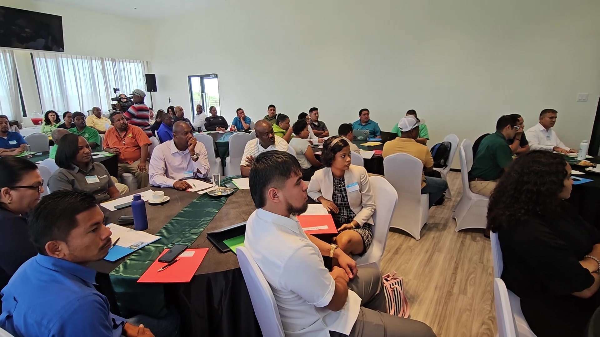
Belize is taking decisive steps to enhance community and national readiness for climate-related disasters through improved data collection and coordination. The National Meteorological Service of Belize (NMS) hosted the Thirteenth National Climate Outlook Forum (NCOF-13), uniting key stakeholders from government, civil society, and the private sector to advance the use of seasonal climate forecasts in disaster risk reduction and sustainable development. Amid growing climate threats that have led to significant economic and social impacts, the forum focused on the critical importance of predictive data to help communities prepare for and mitigate the effects of disasters. Love News spoke with Minister of Disaster Risk Management, Henry Charles Usher who expressed the need for collaborative innovation.

Henry Charles Usher, Minister of Public Service and Governance and NEMO: “The data shows that if you have one day’s notice, 24 hours notice, you can reduce the damage done by climate disasters by 30%. So objective is to increase that. Let us look at maybe having a week’s notice, a month’s notice. With better data, with better decision making, we’re able to secure livelihoods, protect property, and certainly save lives. This is something that has been ongoing. Recently, the National Met Service along with the United Nations launched an early warning system.That early warning system has been implemented in three districts so far, in Orange Walk, in Belize district, and in the Toledo district and the objective, like I said, is to improve data collection, improve the type of data that we’re getting, improve the forecasting so that we can have decision-making ability from the forecast. It’s not only about saying what the temperature will be, it’s about making sure that we can predict as plausible or as accurate as possible what is going to happen in any particular area so that we can warn the persons in those areas. If we have better knowledge of a flood coming in we can warn those areas so that they can move from their homes or they can protect their cattle, for instance, if they have livestock. Or we can say, listen we need to make sure that we board up certain schools, we won’t be able to use certain shelters, et cetera because of the flood. So I think that is important in terms of the decision making ability and really today is about bringing everyone together and bringing this synergy so that they can have the decisions made across the country.”
In response to recent flooding in northern Belize, Usher acknowledged challenges in the speed of issuing warnings, but emphasized that ground response efforts were already underway. One coming attraction under consideration is the development of a mobile app for NEMO, which would enable faster dissemination of critical information to the public.
Henry Charles Usher, Minister of Public Service and Governance and NEMO: “I’ve heard that the official bulletin coming out from NEMO was kind of delayed but the work had already started and this is why this type of forum is very important so that we can create that chain of information so that decisions can be made accurately because NEMO is really only a coordinating agency. They are the ones that are supposed to be coordinating with the different ministries, with local village councils, with communities, with schools, etc. so that all of this information can be utilized to make that decision, whether to evacuate, whether to open shelters, anything of that nature. I wouldn’t call it a failure. It’s always a learning process. And that’s what we’re trying to do is to improve that. One of the areas that we’re looking at is creating an app. In fact, the National Met Service has already created a weather app that you can utilize on Android phones I think it’s going to be converted for Apple devices very soon. But also, NEMO is creating an app where it is about getting out there and getting that information faster, having shelter so that persons can check to see if a shelter is open, which shelter they’re supposed to go to, whether a shelter is usable or not. Also being able to access data when they do these assessments, when they go to households to see what type of damage they’ve had, if it’s agricultural, if it’s structural in terms of the dwelling, et cetera. This is real-time data that we’re able to use, that we’re able to then turn over to the different departments that will be going out and doing the humanitarian assistance, infrastructure assistance, the road networking assistance that might be needed in any particular area after a disaster.”
Outcomes from NCOF-13 are expected to strengthen inter-agency collaboration, improve the communication of forecasts, and encourage informed decision-making.